
North Olmsted ZIP Code Coverage
Only one primary five-digit ZIP Code is confirmed for North Olmsted in the available official sources: 44070. It serves the North Olmsted postal community, but it should still be validated for the individual address. No second North Olmsted ZIP, PO-box-only ZIP, or unique institutional ZIP was confirmed in this research. Nearby municipal names are not evidence that their ZIP codes should be added to a North Olmsted ZIP code directory.
| ZIP | Area served | Post office | Research note |
|---|---|---|---|
| 44070 | North Olmsted postal community; validate each address with USPS. | North Olmsted Post Office, 28475 Lorain Road. | Confirmed primary North Olmsted postal ZIP. It is not automatically the city boundary. |
| No additional ZIP confirmed | Do not add nearby communities without USPS address validation. | No separate North Olmsted facility or unique ZIP located in official sources. | A postal assumption can send a record search to the wrong jurisdiction. |
USPS lists the North Olmsted Post Office at the local 44070 facility.
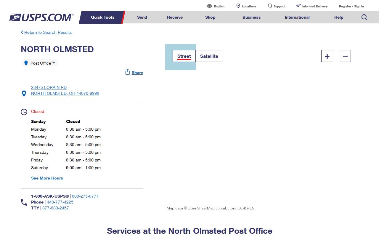
The post-office listing confirms the postal reference point, while USPS address validation remains the right check for a particular delivery address and ZIP+4.
North Olmsted ZIP Code Label
A ZIP Code is a postal-delivery label. In North Olmsted, the 44070 label is useful for mailing and starting an address check, but it does not decide whether a property lies inside the City, belongs to a given school district, appears in a tax district, or votes in a particular precinct. Each of those systems has its own boundary and custodian. A postal label can look citywide while still being a poor substitute for the county parcel or municipal-boundary record.
This is especially important around North Olmsted, Olmsted Township, Olmsted Falls, Westlake, and Fairview Park. Do not merge those places because an address sounds similar or a nearby ZIP seems familiar. For a request, state City of North Olmsted, Cuyahoga County, plus the situs address and PPN when available. That gives the receiving office a property-specific starting point instead of a broad postal guess.
Verify a North Olmsted ZIP Code
Postal verification comes before property or election research. An exact address can have a ZIP+4 added for delivery, but that detail does not identify a household or create a neighborhood boundary. Once the postal format is confirmed, use the city and street address in the county property system. This workflow keeps the North Olmsted ZIP code directory focused on what a ZIP can actually establish.
- Use USPS address lookup or validation for the exact street address and retain the normalized mailing format and ZIP+4, if shown.
- Open MyPlace, choose City = North Olmsted, select Address under Search By, and enter the verified street address.
- Save the parcel's PPN, situs address, legal description, and recorded-owner information as separately labeled facts.
- Use the PPN or legal description in Official Records Search to find deeds or other recorded documents. A street address is often secondary in that index.
- For city building or police material, request only the address-keyed public record needed. For an election question, use a precinct or polling-place source rather than a ZIP.
The workflow narrows a property correctly without suggesting that a ZIP Code is a directory of current residents. It also avoids mistaking a county tax-mailing address for a physical location.
North Olmsted ZIP Code Search
There is no verified ZIP-wide search field on the MyPlace landing page. The public property tool uses a City dropdown and Search By choices for Owner, Parcel, or Address. That means a useful North Olmsted ZIP code search is not a bulk postal query. It begins with a validated address, then switches to City = North Olmsted and Address search. The parcel card supplies the county reference needed for more exact property research.
MyPlace can then link a result to View Map or Go To Full Map. Use the map to place the parcel in its physical context, not to infer a whole postal area. Street-level ownership and document work is covered in the North Olmsted Street Directory once a ZIP has been narrowed to a particular property.
MyPlace and North Olmsted ZIP Codes
MyPlace is still the correct county portal after postal verification because it connects an address to the county parcel framework. The City selector offers North Olmsted, and the search mode can be changed to Owner, Parcel, or Address. Its parcel detail can display General Information, Transfers, Values, Land, Building Information, Building Sketch, Other Improvements, Permits, Property Summary Report, and Tax By Year. The county describes the data as informational, with the originating office retaining the official record.
| MyPlace control | What it does | ZIP-related limit |
|---|---|---|
| City | Narrows the property search to North Olmsted. | It is a municipal filter, not a ZIP field. |
| Search By | Selects Owner, Parcel, or Address as the query route. | No public ZIP filter was exposed on the landing page. |
| Search | Accepts the selected name, PPN, or street address. | Use a USPS-verified address when the query starts with postal information. |
| View Map and parcel tabs | Shows parcel context, transfer, permit, and tax modules. | Map results do not establish ZIP, city, or precinct boundaries by themselves. |
A MyPlace North Olmsted address result illustrates the parcel-side destination after an address search.
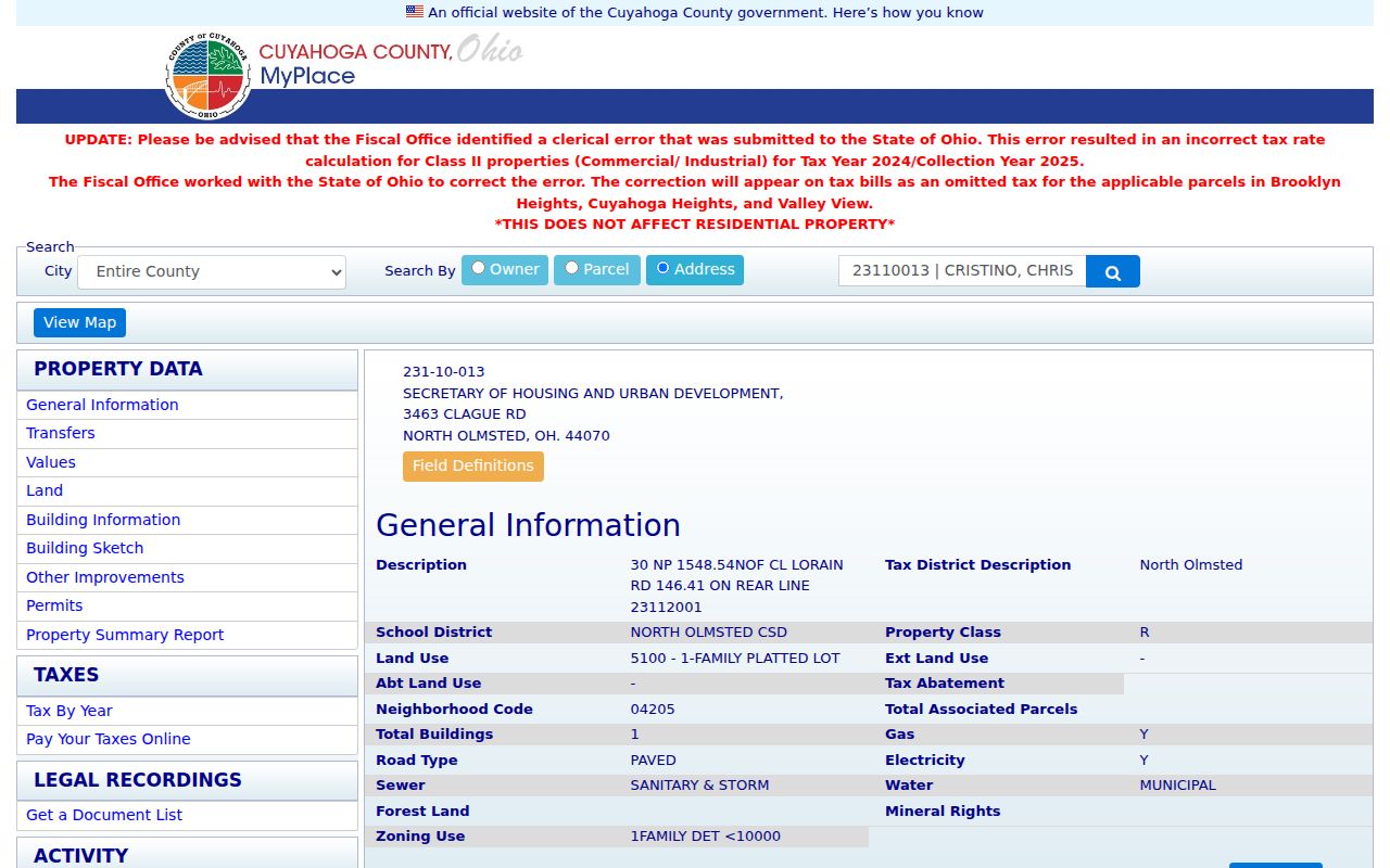
The parcel result provides a PPN and legal-description trail, which is more durable across systems than relying on the 44070 label alone.
North Olmsted ZIP Code Keys
Keep the postal and property keys separate in notes and requests. They are not interchangeable. The ZIP code directory can help verify a mailing label, while the county property and recorder systems depend on the physical parcel and its legal identity.
- ZIP Code
- A five-digit postal delivery area. It helps route mail but does not decide municipal, school, tax, court, or precinct jurisdiction.
- ZIP+4
- An added delivery segment used to refine postal sorting. It is not a resident list or a property identifier.
- Situs address
- The physical parcel location used by MyPlace, permits, and the police street search.
- PPN
- The Permanent Parcel Number used by the county to connect parcel, map, tax, and recorded-document research.
- Legal description
- The lot, subdivision, or metes description found in deeds and plats. It helps when historic street text no longer matches.
Precincts Beyond North Olmsted ZIP
Election geography must begin with the county, not the ZIP. Ohio Voter Information uses county selection and provides routes for Voter Lookup, Absentee Lookup, Polling Place, and Ballot List. The inspected landing page did not expose a ZIP filter. Cuyahoga Board of Elections precinct maps and polling resources are the proper next step for a North Olmsted election question.
Registration forms and the statewide voter database are public subject to R.C. 3503.13 exclusions. Telephone numbers, email, identification numbers, confidential registrations, and certain protected addresses are not public. A voter lookup can support a lawful, limited record question, but it should not be treated as a ZIP-wide resident directory. For existing public election material, the Board's policy allows oral or written requests and does not require creation of a custom report.
Ohio's voter-registration statute sets the public-record rule and its exclusions.
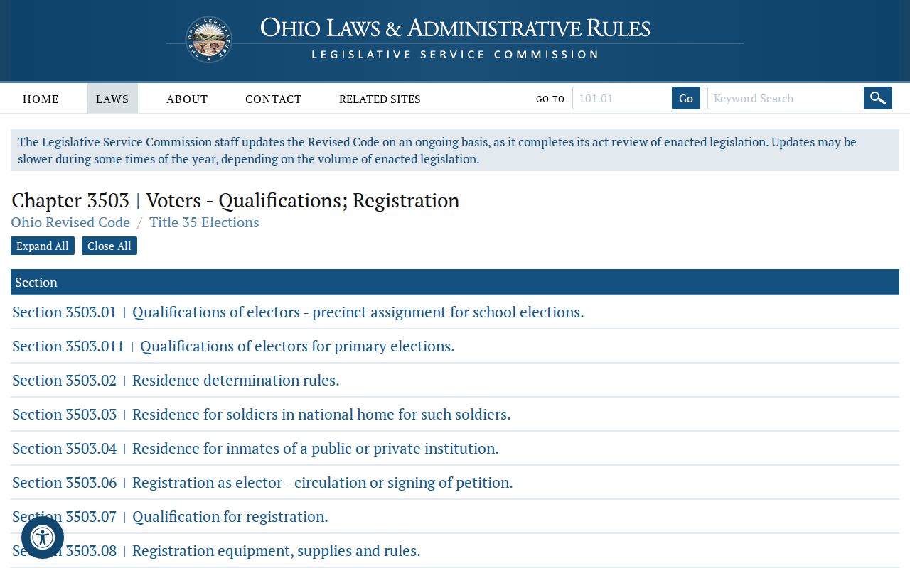
The statutory limits explain why a postal address should never be used to work around a confidential voter record or protected contact field.
North Olmsted ZIP Code Boundaries
City limits and postal boundaries can look alike without being the same. A 44070 mailing label does not, by itself, determine city jurisdiction, tax district, school district, or precinct. Before requesting a city or county record, identify the property as City of North Olmsted, Cuyahoga County, then add the situs address and PPN. Verify city matters with the City, parcel and tax matters with the Fiscal Office, recorded documents with the Recorder, and election questions with the Board of Elections.
Cuyahoga Board of Elections public-records policy describes the request route for existing election records and maps.
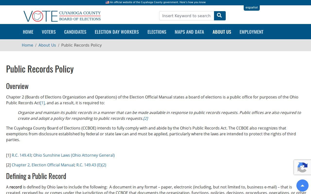
The Board's policy is a county-record route, while postal verification remains a separate USPS task.
North Olmsted Postal Limits
The useful local fact is not a long list of guessed ZIPs. It is the relationship between one confirmed postal label and the county systems that hold property records. North Olmsted is a compact west-side Cuyahoga County city, but its record trail stretches across county parcel, recorder, election, and archive systems. A PPN or legal description lets those systems refer to the same property even when a postal label, mailing contact, or old street wording differs.
North Olmsted's address-number rule is a useful field check, not a postal rule. City code requires building numbers visible from the fronting street, with contrasting characters at least 3.5 inches high. That helps normalize an address found in a permit file, parcel card, or historic document. It does not establish where mail is delivered, which precinct serves the property, or who occupies it.
For a historic or boundary-sensitive address, preserve the exact postal form, situs address, PPN, legal description, and date of each source. That small set of identifiers makes a ZIP code directory search useful for family history, estate questions, property curiosity, and civic research without turning delivery data into a claim about who lives at an address.