North Olmsted Neighbor Evidence
Public records can describe the block around a North Olmsted address, but they do so in layers. The parcel map shows adjoining polygons and the county's recorded owner information. A recorder search can add documents and subdivision context. Election records have lawful, limited routes that are not a public block browser. Association materials can show community contacts or newsletters without becoming a resident roster. Treat the immediate map view as a research boundary, then verify each parcel independently.
| Source | What it shows about a block | Access |
|---|---|---|
| MyPlace map and parcel cards | Adjacent parcels, permanent parcel numbers (PPNs), physical situs addresses, recorded owner, and property details | Address search, View Map, then parcel clicks |
| Recorder and plats | Documents, party roles, lot, and subdivision linkage | PPN, legal description, party, or document search |
| BOE current or historic records | Lawful voter, precinct, or historical election context | Individual lookup, narrow request, or Archives route |
| City Building Department | Address-tied work, inspection, citation, or permit context | Request by address, date, and record type |
| Associations and civic groups | Voluntary community contact, newsletters, and area information | Each group's public materials |
An owner field does not prove that a person occupies a property, and a mailing address may be different from the parcel's situs. Other occupants, utility customers, delivery recipients, and private association members are not a public neighbor list. That separation makes a careful North Olmsted neighbors search more accurate and less intrusive.
North Olmsted Neighbors by Parcel
MyPlace supplies the practical adjacent-parcel method. Find the focal North Olmsted address, open View Map or Go To Full Map, click the focal parcel, then pan and zoom to the parcel polygons that visibly touch it. Click each adjoining polygon and record only the PPN, situs, and recorded-owner data needed for the property question. The PPN is the durable county identifier, while a street number is only an address label.
No verified MyPlace radius, buffer, or select tool appeared in the research. Do not substitute a group of nearby street numbers for actual parcel adjacency. If a shared line or exact boundary matters, recheck the relationship against a tax map or plat. The Fiscal Office says MyPlace data are informational; use the recorder, tax map, or certified material when an originating-office record is needed.
- Search the focal address in MyPlace and save its PPN, situs, and legal description.
- Open the map view and click the focal polygon before moving to polygons that touch it.
- Open each adjoining parcel separately, keeping its PPN and recorded-owner field distinct from the focal record.
- Use the legal description or PPN in Official Records if a deed, plat, or transfer needs confirmation.
For an entire named street rather than the immediate block, use the North Olmsted street directory workflow. That broader process follows address-keyed records along a street, while this one remains parcel by parcel.
North Olmsted Neighbors and Geography
A map-based block is not the same thing as a civic or postal neighborhood. North Olmsted's 44070 mailing label, city boundary, tax district, school district, precinct, and PPN are separate geographic systems. A subdivision label in a deed or plat may give useful context, but it does not prove that an association controls every nearby parcel. The research treats Canterbury Woods, Country Club Condominiums, Bretton Ridge, and Villages of Lakeside as community-search terms rather than verified government boundaries.
Use the legal description, the recorded lot or subdivision description, to read property context when streets, dimensions, or descriptions change over time. Cuyahoga's Map Room maintains tax maps, processes plats, which are recorded maps of lots and subdivisions, and assigns PPNs. For older property work, retain the PPN and legal description together instead of forcing a current street-number pattern into historic material.
Note: A postal or neighborhood name can orient a search, but a parcel polygon and legal description identify the specific property record.
North Olmsted Voter Boundaries
Ohio makes registration forms and the statewide voter registration database public subject to R.C. 3503.13 exclusions. The public route begins with county selection in Ohio Voter Information. It includes Voter Lookup, Absentee Lookup, Polling Place, and Ballot List choices. The research found no public browse-by-street interface, so an individual lookup is not an appropriate way to enumerate North Olmsted neighbors on a block.
For a historical or civic question, make a narrowly framed Cuyahoga Board of Elections request for an existing public record, precinct map, or historic List of Electors. The Board does not have to create a custom report. Telephone numbers, email, identification numbers, confidential voter records, protected addresses, and other excluded material remain outside the public route. A precinct is election geography, not a block roster.
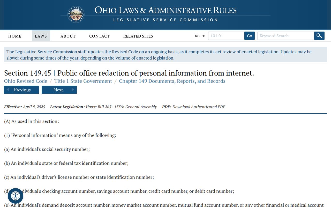
Ohio's online-record redaction law illustrates why a familiar address or voter-related field may be absent or altered.
North Olmsted Community Contacts
Voluntary community groups are useful for public documents and contact points, not for compiling household lists. Canterbury Woods Homeowners Association publishes association documents and newsletters. Country Club Condominiums publishes an office or association contact at 25561 Country Club Boulevard. Bretton Ridge describes a western-edge North Olmsted community of 580 families, and Villages of Lakeside publishes Board contact and component-neighborhood information. No public resident roster was verified for any of them.
| Community material | Publicly confirmed use | Neighbor limit |
|---|---|---|
| Canterbury Woods | North Olmsted community documents and newsletters | Use the association contact or documents, not a person list. |
| Country Club Condominiums | Office contact and complex information | Office contact is not a resident directory. |
| Bretton Ridge | Public community brochure and area context | No verified public roster. |
| Villages of Lakeside | Board contact and component-area information | Contact is for voluntary association matters. |
The Canterbury Woods community page is an example of a voluntary public source. It can provide association context without revealing who lives at every address.
The Canterbury Woods site publishes its community-facing materials directly.

Frostville and Historic Neighbors
For a past block, the Olmsted Historical Society's Frostville Museum archives are a local route for family histories, letters, diaries, photographs, newspapers, community collections, local-government items, and reference materials. The Society's archive research process can help identify historic context around North Olmsted organizations, schools, police and fire material, maps, and family files. It is not a way to disclose current household status.
Cuyahoga County Archives is the county counterpart. Its holdings include directories, List of Electors, property cards, probate indexes, and biographical clipping files. Historic directory entries should be paired with the parcel and map record for the relevant period. A past address may change form over time, so preserve the PPN and legal description where a current parcel can be identified.
That historical layer is particularly useful when a reader wants neighborhood history rather than a present-day roster. It keeps the North Olmsted neighbors question grounded in documents that fit the date being studied.
Official North Olmsted Neighbor Sources
Official records and commercial neighbor tools serve different purposes. A county parcel card identifies documented property facts and directs questions back to a named custodian. Commercial compilations may combine stale associations with unclear source dates and correction paths. The appropriate response to a conflicting result is to return to the parcel, recorder, Board of Elections, court, or association that actually controls the relevant record.
| Source category | Best use | Limit to carry forward |
|---|---|---|
| Official parcel and recorder records | PPN, situs, recorded owner, deed role, and subdivision context | They do not list all occupants or prove a household profile. |
| Official election or court routes | A defined public record within the correct legal scope | Protected, sealed, and excluded material may be absent. |
| Voluntary association materials | Public contacts, newsletters, or community boundaries as described by the group | They do not authorize disclosure of private members. |
| Commercial neighbor tools | A lead that should be checked against an accountable custodian | May be stale, incomplete, or opaque about source and correction. |
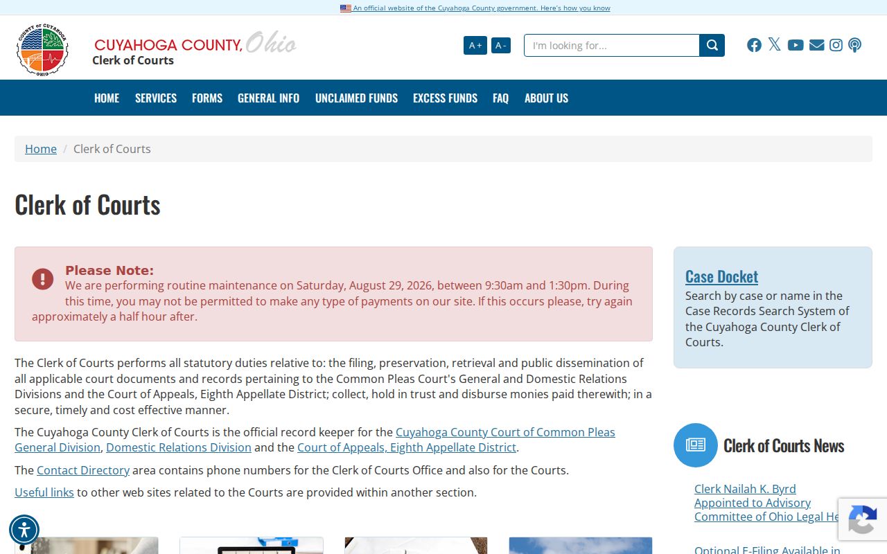
The Cuyahoga County Clerk of Courts provides the county court-record context when a particular public case, rather than an address, is relevant. A court record is never a substitute for parcel-by-parcel map work.
The Clerk of Courts information page identifies the custodian behind Common Pleas records.
Map North Olmsted Neighbors
The parcel method works because it records the relationship shown by the map instead of guessing from street order. Start with the focal property, then only examine polygons that touch it. Store each PPN alongside its situs and the date checked. If the map and street pattern seem inconsistent, pause and use the plat or tax map before calling two properties adjacent.
Once a parcel has a current owner field, Official Records can be searched by that party, PPN, legal description, subdivision term, document number, or recorded date. A grantor or grantee label identifies a role in a document, not a household. MyPlace Transfers and recorder documents can add a transfer sequence, while the City Building Department can handle an address-specific public work or inspection request.
Never equate a sequence of nearby street numbers with adjacent lots. Corner parcels, shared drives, subdivision layouts, and nonconsecutive address numbering make that shortcut unreliable. A North Olmsted neighbor lookup should be as precise as the map evidence permits.
North Olmsted Neighbor Privacy
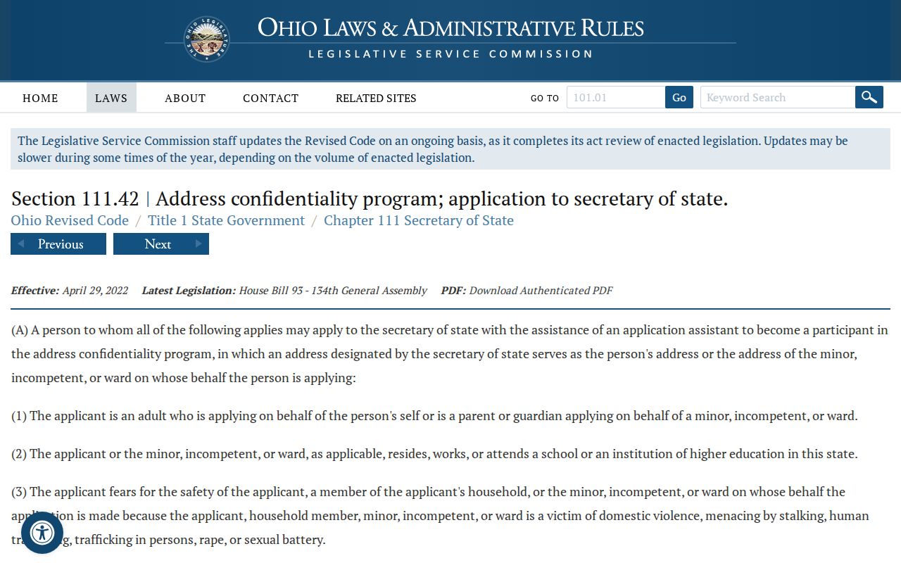
Some missing data are protected by law. Ohio Safe at Home can provide a substitute address, confidential voter status, and real-property confidentiality protection for certified participants. Court sealing, juvenile rules, victim redactions, and voter exclusions are also enforceable privacy boundaries. No map or street search should be used to expose a protected address or work around a result that the custodian has lawfully restricted.
R.C. 149.45 gives a qualifying individual a written route to seek online redaction of specified personal information from an Ohio public office when practicable. The office must act or explain impracticability within five business days. It is not a universal deletion process, and it does not erase original records or private copies held elsewhere.
The Safe at Home eligibility provision describes the program's protected-address framework.
Lawful North Olmsted Neighbor Use
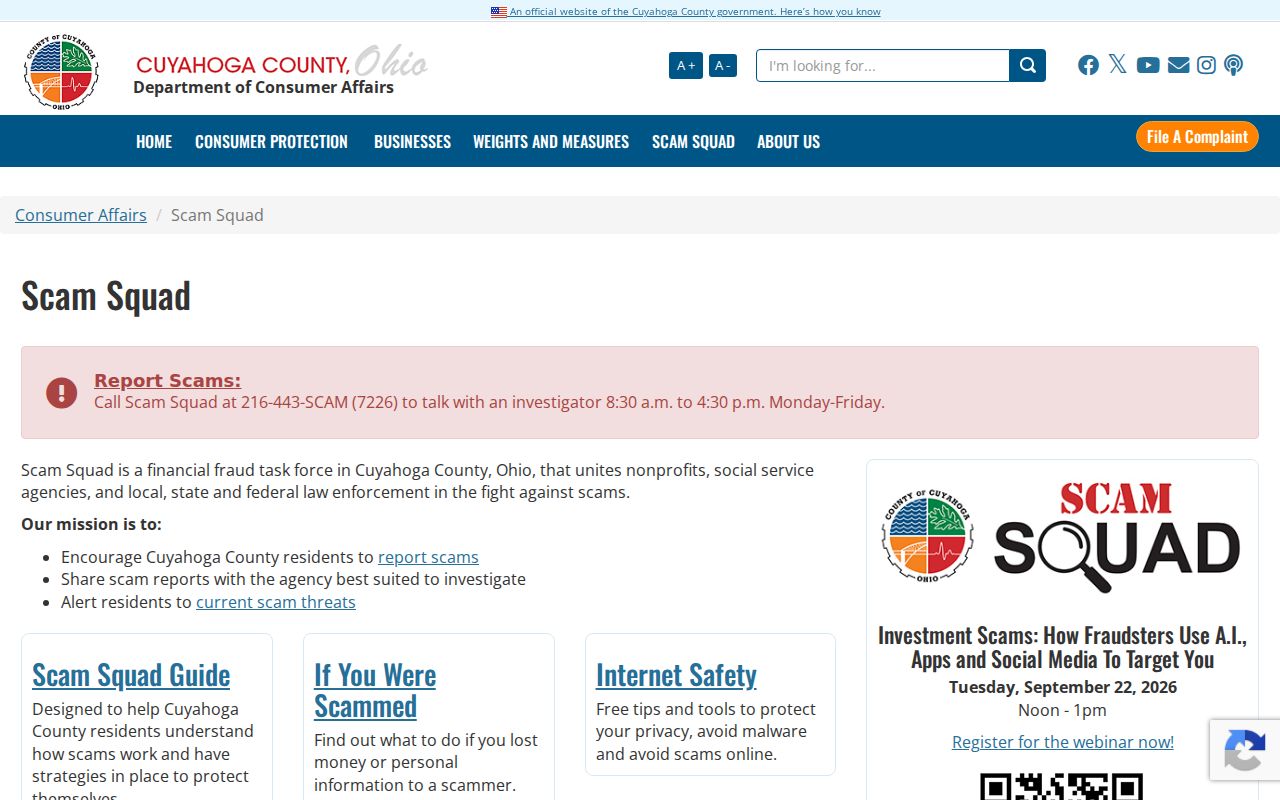
Use public property context to understand a block, verify a parcel fact, reconnect through a voluntary community contact, or research local history. Do not use it to watch, threaten, harass, or intimidate a person. A recorded owner, estate party, or court name does not identify every person who lives nearby, and a private association member list should never be requested or assembled as a substitute. Cuyahoga County's Scam Squad warns that real agencies do not demand arrest-avoidance payment through wire transfers, gift cards, gaming apps, or cryptocurrency.
Cuyahoga County's Scam Squad provides a local report and alert route for suspected record-related impostors.
Custody-status records are a separate category from property and community research, so they should never be used to draw a conclusion about a current household near the focal parcel.
Cuyahoga County's inmate-information page is a separate custody resource, not a way to determine who lives around an address.